

Image credit: Viettrekking
Lao Than Mountain sits on an altitude of 2,860M above sea level, and is considered the roof of Y Ty Ward in Lao Cai Province in the north of Vietnam.
The 20KM trek to the mountain is best done in 2 days, during which travellers will navigate winding passes and some grassy trails filled with thorny bushes. Bring your best protective shoes and socks, as these plants can easily scratch your legs. Aside from that, the trek is mostly flat, scenic, and enjoyable for even unseasoned trekkers.
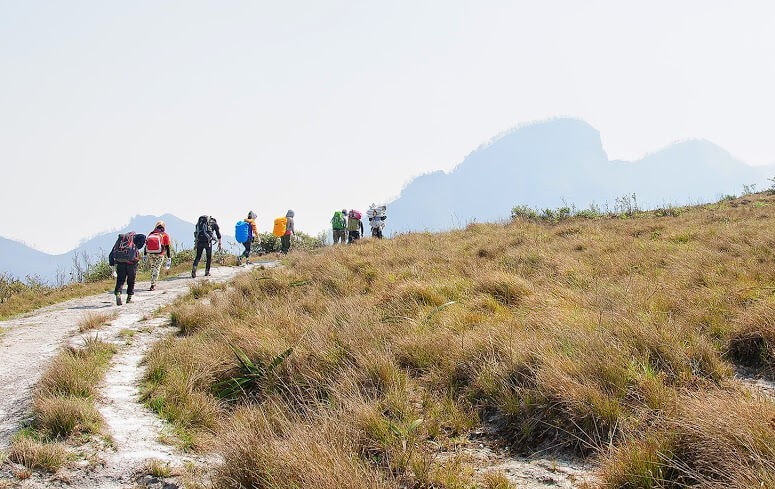
Image adapted from: Viettrekking
A popular pit stop is located at an empty area near a cave, where trekkers can recharge and spend the night. Remember to bring lots of water with you because the nearest source of water is about a 30-minute walk away from the pit stop, and can run dry during the dry season from November to early May.

Image adapted from: Viettrekking
The arduous hike is worth it for many. Upon reaching the peak, trekkers will be blown away with the view of a carpet of clouds covering the entire city.
Produced by Xinhua Global Service
Web editor: Wang Xiaoxuan
Reviewer1: Zhang Yanlan
Reviewer 2: Pang Bo
Reviewer3:Tang Caihong
English Reviewer: Shen Fei